Landing Sites

| Credit | NASA |
|---|---|
| Language |
|
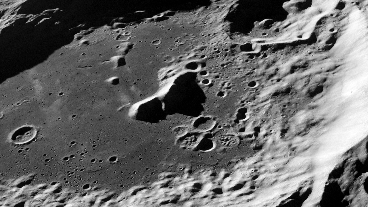
Surveys from orbit informed the landing sites of future Apollo missions and deployment of scientific instruments.
The closest look we’ve had at the moon came from the launch of NASA’s Apollo program in the 1960s. Between 1967 and 1972, a series of missions landed the first men on the Moon. Equipped with handheld cameras, Apollo astronauts documented their journey, capturing photos of the Moon and its rocky terrain through surveys conducted from lunar orbit and on the ground. The collection of moon exploration photos includes up-close views of impact craters, mountain ranges, volcanic channels and maria—dark regions believed to have been formed from molten rock. The images are part of a massive archive of more than 14,000 photos taken by Apollo astronauts.

